Hadrian’s Wall was probably known to the Romans as the Vallum Aelium, or just the Vallum (hence the phrase per lineam valli – along the line of the Wall). The earthwork that is now known as the Vallum was a later addition, constructed whilst the main Wall complex was being built.
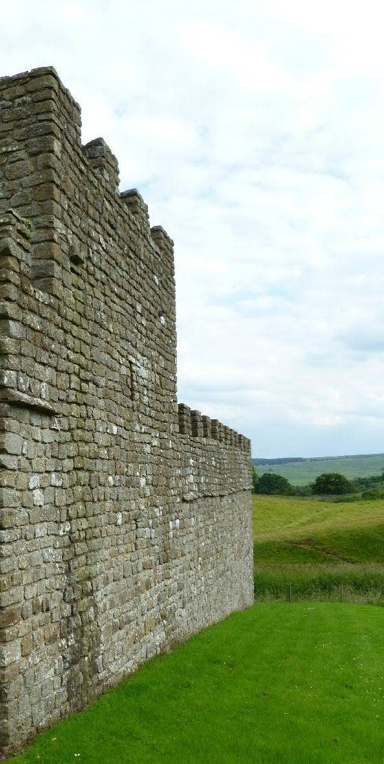 The frontier evolved over many years and through many forms, but what remains is a stone curtain wall between 8 and 10 Roman feet (2.37–2.96m) wide and fronted by a ditch for most of its length. Every Roman mile there was a milecastle, and between those two turrets (occasionally more, as in Wall Mile 39 or at major river crossings). Spaced out along the Wall was a series of forts that were actually part of it, but also outpost forts to the north (no, Hadrian’s Wall was never the ‘edge of empire’), hinterland forts to the south, and an earlier system of forts along the east–west road now known as the Stanegate (which at one point came so close to the Wall that one of its forts, Carvoran, ultimately became part of the Wall complex).
Modern scholars evolved a numbering system for the frontier running from east to west and based on the milecastles and ‘Wall Miles’ (hence Wall Mile 1 runs between Milecastle 1 and Milecastle 2). This system forms the basis of the gazetteer that accompanies this website.