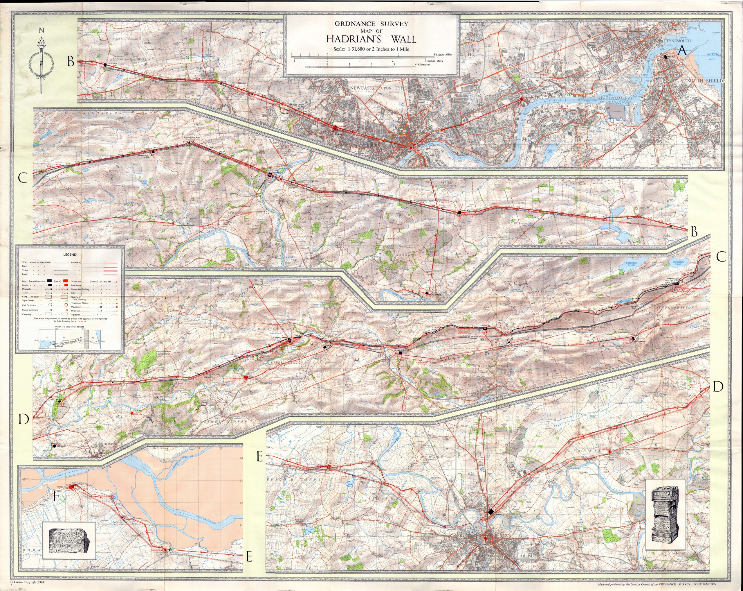
This is the 1964 first edition of the Ordnance Survey’s historical map on Hadrian’s Wall. Available as both a flat sheet wallchart and as a folded field map, it featured a cunning arrangement of one horizontal and eight vertical folds, enabling it to be kept extremely small (c.120mm by 420mm) when in use on the Wall. Many Wall walkers still prefer this over the newer English Heritage map.